Humanitarian OpenStreetMap Team
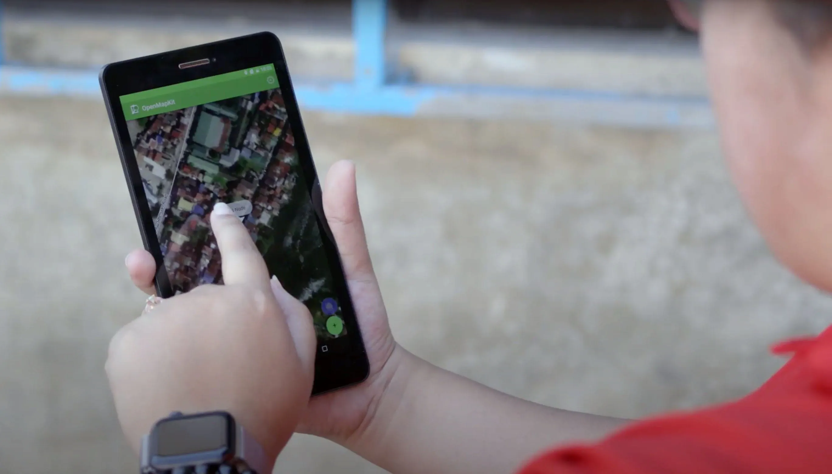
Communities are using open source tools to help contain the coronavirus by mapping hand-washing stations and those at risk
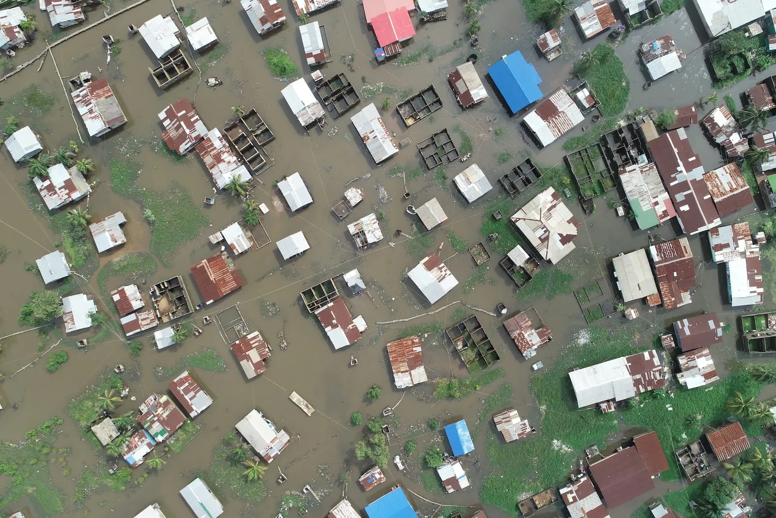
Collaborative projects for mapping in disaster, health, and conflict situations are on the rise around the world as satellite technologies improve, becoming accessible for a much wider range of people worldwide.
We’ll send you news and updates on how ideas are taking shape.